BusGo Project (Android + iOS)
Smart mobile app revolutionizing bus travel with real-time tracking.
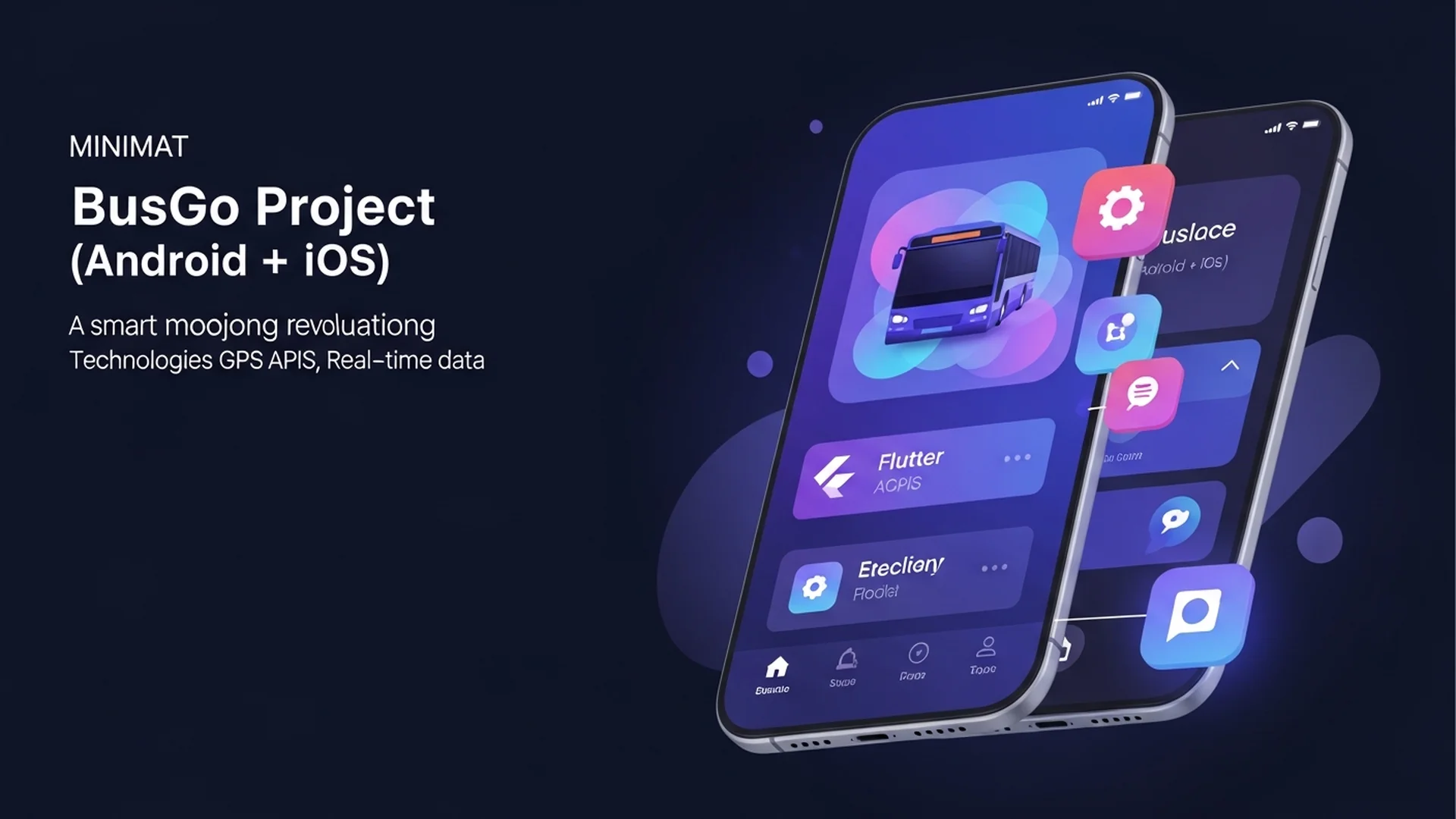
BusGo is a cross-platform mobile project (Android + iOS) that modernizes bus travel by delivering real-time vehicle tracking, interactive route maps, and intelligent trip planning. The app focuses on improving commuter experience in urban and intercity settings by enabling passengers to see live bus locations, estimated arrival times, route-based fare comparisons, and seat availability (where supported). By integrating GPS telematics from buses with a responsive mobile UI, BusGo reduces rider uncertainty and improves public transit adoption.
SEO keywords: bus tracking app, live bus locations, real-time transit app, BusGo, trip planning, public transit tracking.
Key features include live GPS tracking of vehicles, route maps with stop-level ETA predictions, search and filter for routes, and fare comparison across operators. The backend aggregates telemetry from fleet devices, normalizes routes, and computes ETA using a mix of historical patterns and live speed data. For operators, BusGo provides fleet dashboards, telemetry ingestion pipelines, and optional passenger-count telemetry to support capacity planning.
Overview table:
| Feature | Benefit | Typical Data Source |
|---|---|---|
| Live tracking | Know exactly where buses are | GPS telematics |
| ETA prediction | Reduce wait times | Historical + live data |
| Fare comparison | Choose cheapest route | Operator fares API |
| Route search | Find best connections | GTFS/GTFS-RT or custom feed |
Mini pipeline visualization:
Telemetry -> Normalize -> Predict ETA -> Serve API -> Mobile App
Implementation steps
- Ingest GPS telemetry from bus fleet devices (MQTT or REST endpoints) and normalize telemetry records.
- Map telemetry points to route geometries and compute ETA using a hybrid model combining live speed and historical travel times.
- Provide APIs for mobile clients with caching and region-based sharding to handle scale.
- Build driver and operator dashboards that visualize fleet locations and alert anomalies.
- Add offline map tiles and lightweight client-side routing for areas with poor connectivity.
Challenges and mitigations
- GPS noise and route-mapping: used map-matching algorithms to snap noisy GPS points to route geometries and discard outliers.
- Scaling real-time telemetry: introduced partitioned Kafka topics (or RabbitMQ) and stateless processing workers to ensure throughput.
- ETA accuracy under variable traffic: combined short-term live speed data with historical models and fallback heuristics to improve predictions.
- Data privacy and regulations: anonymized telemetry and enforced retention policies to comply with local laws.
Business impact and SEO relevance
BusGo increases rider confidence by reducing perceived wait times and enabling smarter route choices—this translates to higher public transit usage and improved passenger satisfaction. Content and documentation focusing on transit analytics, real-time mapping, and GTFS integration attract transit agencies and developers, while SEO content that answers "when is my bus arriving" or "how to track buses in [city]" drives organic traffic from riders seeking real-time information.
By combining robust telemetry ingestion, intelligent ETA modeling, and a responsive mobile experience, BusGo makes bus travel more predictable, accessible, and user-friendly.